
Vehicle registration UP Elevation 205 m Local time Friday 9:42 PM | Time zone IST (UTC+5:30) Website up.gov.in Population 18,029 (2001) | |
 | ||
Weather 28°C, Wind NW at 6 km/h, 29% Humidity | ||
Ranipur is a town and a Nagar Panchayat in Jhansi district in the Indian state of Uttar Pradesh.
Contents
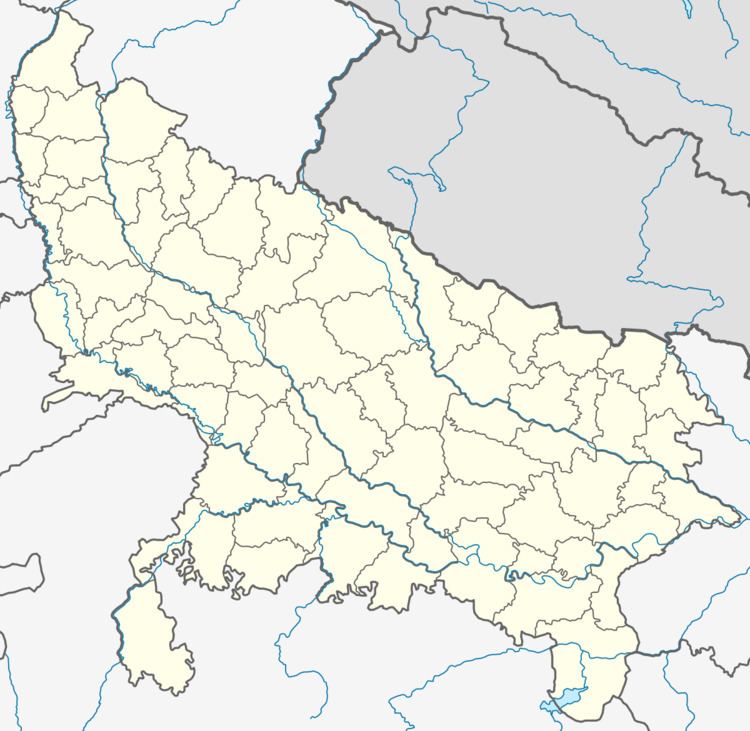
Map of Ranipur, Uttar Pradesh 284205
Geography
Ranipur is located at 25.25°N 79.07°E / 25.25; 79.07. It has an average elevation of 205 metres (672 feet).
Demographics
As of 2001 India census, Ranipur had a population of 18,029. Males constitute 53% of the population and females 47%. Ranipur has an average literacy rate of 59%, lower than the national average of 59.5%: male literacy is 70%, and female literacy is 45%. In Ranipur, 16% of the population is under 6 years of age. The politics of this town is a barrier to the development of this town. For many years there is no sign of development has been founded in this town, . The town is waiting for a regeneration of Ranipur as a handloom and a textile city.