
Lok Sabha constituency Darjeeling Area 305.8 km² | Time zone IST (UTC+5:30) Population 70,125 (2011) | |
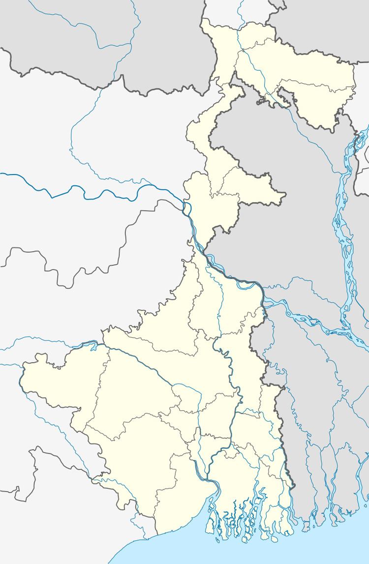 | ||
Rangli Rangliot (community development block) is an administrative division in Darjeeling Sadar subdivision of Darjeeling district in the Indian state of West Bengal. Rangli Rangliot police station serves this block. The headquarters of this block is at Takdah.
Contents
Map of Rangli Rangliot, West Bengal 734226
Geography
Rangli Rangliot is located at 27°01′46″N 88°21′25″E.
Rangli Rangliot community development block has an area of 305.83 km2.
Demographics
As per 2011 Census of India Rangli Rangliot CD Block had a total population of 70,125 all of which were rural. There were 35,025 males and 35,100 females. Scheduled Castes numbered 3,893 and Scheduled Tribes numbered 23,187.
Literacy
As per 2011 census the total number of literates in Rangli Rangliot CD Block was 51,492 out of which 27,950 were males and 23,542 were females.