
Time zone MST (UTC-7) Elevation 2,630 m | Established 1881 ZIP code 80473 Local time Friday 6:14 AM | |
 | ||
Weather -1°C, Wind N at 16 km/h, 83% Humidity | ||
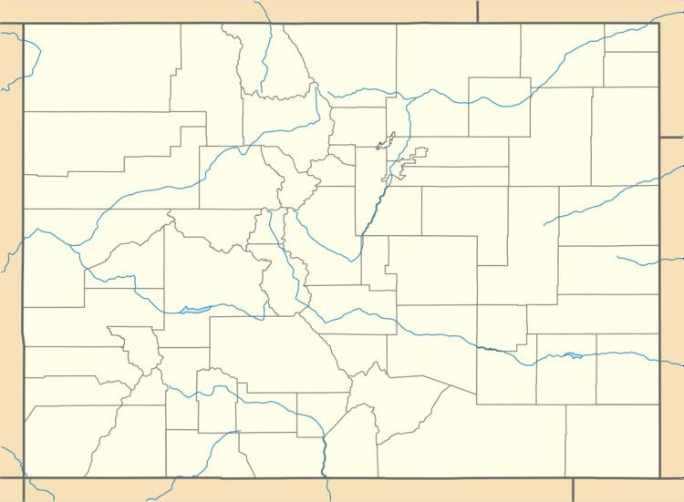
Rand is an unincorporated community and a U.S. Post Office established in 1881 in Jackson County, Colorado. It is a ranching community at the southern end of North Park south of Walden consisting of several homes and businesses, a post office, and ranching facilities. Rand is near the junction of State Highway 125 and Jackson County Road 27 along Indian Creek, at an elevation of 8627 feet (2630 meters). The Rand post office has the ZIP code 80473.
Contents
Map of Rand, CO 80473, USA
A post office called Rand was established in 1883. Some say the community was named after Charles Rand, a pioneer, while others believe it has the name of J. A. Rand, another pioneer.
Geography
Rand is located at 40°27′15″N 106°10′45″W (40.454262,-106.179256).
References
Rand, Colorado Wikipedia(Text) CC BY-SA