
Country India District Jalore district Nearest city Bhinmal Elevation 203 m Local time Friday 1:43 PM | State Rajasthan Time zone IST (UTC+5:30) Lok Sabha constituency Sirohi - Jalore Population 8,376 (2001) ISO 3166 code ISO 3166-2:IN | |
 | ||
Weather 36°C, Wind N at 3 km/h, 19% Humidity | ||
Ramsin is a village in Jalore District of Rajasthan, India. There is an ancient temple called Aapeshwar Mahadeo/ Lord Shiva temple situated here. The temple is on the banks of a river flowing from the Dam Called Vitan towards Sikwara just Near to Apeshwar Temple.
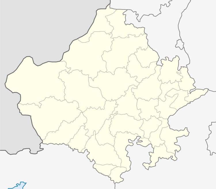
Map of Ramsin, Rajasthan 307803
The village is situated on main road network of the district and therefore is a transport hub. The nearest villages are Sikwara ( 4 km.) Moodatara (7 km), Mandoli Nagar (8 km) and Thur (11 km). The district headquarters Jalore is about 23 km to the north. This town is around 35 km north of Bhinmal,17 km to the south of Bakra, 21 km to the north of Bagra and 21 km to the west of Siyana.
Marwar Bhinmal Railway Station is the nearest railway station, but people are normally using Bhinmal Railway Station due to frequency and convenience.