
Country Nepal District Nawalparasi District Climate Cwa Population 25,990 (2011) Area code 078 | Zone Lumbini Zone Time zone NST (UTC+5:45) Local time Friday 10:48 AM Postal code 33000 | |
 | ||
Weather 29°C, Wind SE at 5 km/h, 54% Humidity | ||
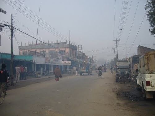
Ramgram is a town and municipality and headquarter of Nawalparasi District in the Lumbini Zone of southern Nepal. At the time of the 2011 Nepal census it had a population of 25,990 in 4,972 households. The former name of Parasi is still widely used.
Contents
Map of Ramgram 33007, Nepal
Ramgram is about 9 km from the Mahendra Highway, the arterial roadway of Nepal, connected through Sunwal Municipality. This roadway is also called Tanka Prasad Acharya Marga. The regular jeep and bus run through this roadway from Sunwal Jeep Station. Nowadays it is also connected through highway, 5 km from bumahi, a small town connected to Mahendra Highway.
Ramgram is mainly Hindu but also an important place for Buddhists because it is the location of Ramagrama stupa. This stupa, which was constructed some 2500 years BCE, contains one of the relics of Buddha.
Media
To promote local culture Parasi has one FM radio station Radio Parasi - 90.2 MHZ MHz Which is a Community radio station.