
Area rank 3rd of 105 Lowest elevation 311 m (1,020 ft) Area 79.09 km² Lau 2 03005 | Canton Redange Highest elevation 554 m (1,818 ft) Time zone CET (UTC+1) Local time Friday 5:18 AM | |
 | ||
Weather 6°C, Wind NE at 18 km/h, 87% Humidity | ||
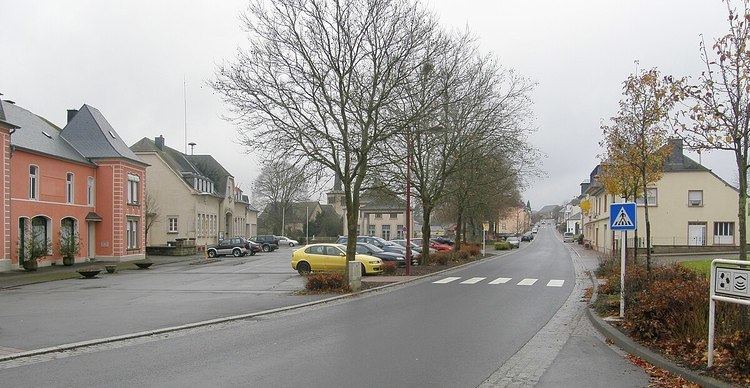
Rambrouch (Luxembourgish: Rammerech) is a commune and small town in western Luxembourg, in the canton of Redange. It lies close to the border with Belgium.
Map of Rambrouch, Luxembourg
Rambrouch was formed on 1 January 1979 from the former communes of Arsdorf, Bigonville, Folschette, and Perlé, all in Redange canton. The law creating Rambrouch was passed on 27 July 1978.
As of 2005, the town of Rambrouch, which lies in the centre of the commune, has a population of 379. Other towns within the commune include Arsdorf, Bigonville, Bilsdorf, Folschette, Holtz, Hostert, Koetschette, Perlé, Rombach, Schwiedelbrouch, and Wolwelange.
References
Rambrouch Wikipedia(Text) CC BY-SA