Country India District Anantapur Time zone IST (UTC+5:30) Local time Friday 8:09 AM | State Andhra Pradesh Talukas Ramagiri, Anantapur Elevation 516 m Population 31,474 (2001) | |
 | ||
Weather 26°C, Wind S at 10 km/h, 54% Humidity | ||
Ramagiri is a village and a mandal in Anantapur district in the state of Andhra Pradesh in India.
Contents
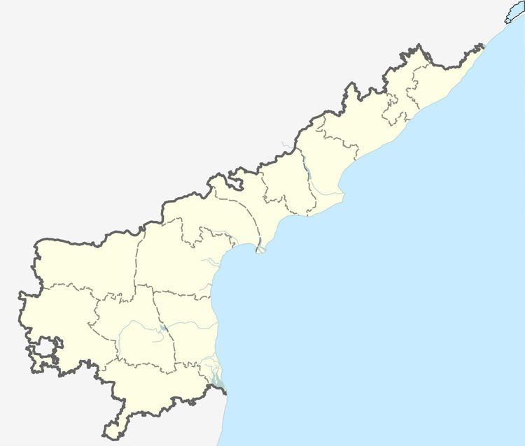
Map of Ramagiri, Andhra Pradesh 515101
Once known for its rich Gold resources, the second in Andhra Pradesh is now known for Wind Electricity generation.
Geography
Ramagiri is located at 14.3000°N 77.5000°E / 14.3000; 77.5000. It has an average elevation of 516 metres (1696 ft).
Demographics
According to Indian census, 2001, the demographic details of Ramagiri mandal is as follows:
According to Indian Census 2011, the demographics of Ramagiri village are as following:
Panchayats
The following is the list of village panchayats in Ramagiri mandal. Polepalli,Kuntimaddi, Ganthemarri, Ramagiri, Nasanakota, M C Palli, Kondapuram, Peruru, Dubbarlapalli.
References
Ramagiri, Anantapur Wikipedia(Text) CC BY-SA
