
Population 550 (2011 census) Local time Friday 11:09 AM | Postcode(s) 2454 Postal code 2454 | |
 | ||
Weather 22°C, Wind SW at 24 km/h, 94% Humidity | ||
Raleigh is a small town on in the Mid North Coast region of New South Wales, Australia, in Bellingen Shire Council. At the 2011 census, Raleigh had a population of 550. The town is south of Coffs Harbour and Sawtell and north of Nambucca Heads. It is located in Raleigh County and is perhaps named after it. It has one school, Raleigh Public School, which is located opposite a Norco dairy factory. A railway station on the North Coast line opened in 1915, but was subsequently closed and demolished.
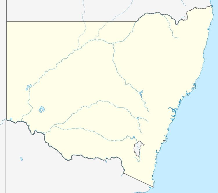
Map of Raleigh NSW 2454, Australia
References
Raleigh, New South Wales Wikipedia(Text) CC BY-SA