
River mouth The Neretva river Length 32 km Mouth Neretva | Basin size The Neretva river Source Treskavica Country Bosnia and Herzegovina | |
 | ||
Main source Near Rakitnica village under Treskavica mountain. | ||
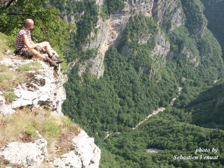
Rakitnica is the main tributary of the first section of the Neretva river known as Upper Neretva (Bosnian: Gornja Neretva). The Rakitnica river formed a 26 km long canyon, of its 32 km length, that stretches between Bjelašnica and Visočica to southeast from Sarajevo. From canyon, there is a hiking trail along the ridge of the Rakitnica canyon, which drops 800m below, all the way to famous village of Lukomir. The village is the only remaining traditional semi-nomadic, Bosniak, mountain village in Bosnia and Herzegovina. At almost 1,500m, the village of Lukomir, with its unique stone homes with cherry-wood roof tiles, is the highest and most isolated mountain village in the country. Indeed, access to the village is impossible from the first snows in December until late April and sometimes even later, except by skis or on foot. A newly constructed lodge is now complete to receive guests and hikers.