
Local time Friday 11:40 AM | ||
 | ||
Weather 12°C, Wind W at 31 km/h, 78% Humidity | ||
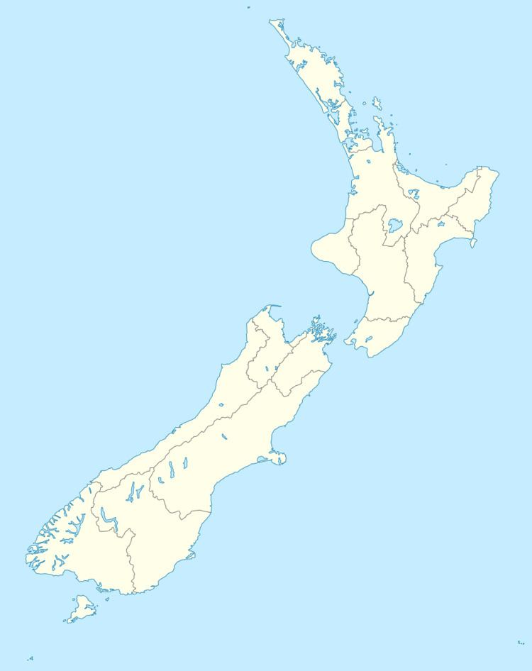
Rakahouka is a community in the Southland Region of New Zealand's South Island. It is located in a fertile farming area on the Southland Plains just south of the Makarewa River. The nearest major city, Invercargill, is approximately 15 km to the southwest, and nearby villages include Grove Bush and Mabel Bush to the north, Woodlands to the southeast, and Myross Bush and Roslyn Bush to the southwest.
Map of Rakahouka, New Zealand
New Zealand State Highway 98 runs through Rakahouka. The State Highway links Makarewa and Dacre, and Rakahouka is the only named locality on its route.
References
Rakahouka Wikipedia(Text) CC BY-SA