
District Barwani PIN 451447 Elevation 225 m Local time Friday 3:39 AM ISO 3166 code ISO 3166-2:IN | Time zone IST (UTC+5:30) Telephone code 07284 Population 17,913 (2001) Area code 07284 | |
 | ||
Weather 26°C, Wind W at 6 km/h, 38% Humidity | ||
Rajpur is a town and a nagar panchayat in Barwani district in the Indian state of Madhya Pradesh. Integrated Border Check Post at Agra Mumbai Highway run by Government of Madhya Pradesh is at Balsamud in Rajpur tehsil.
Contents
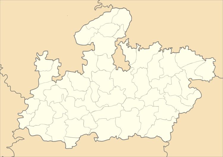
Map of Rajpur, Madhya Pradesh 451447
Geography
Rajpur is located at 21.93°N 75.13°E / 21.93; 75.13. It has an average elevation of 225 metres (738 feet).
Demographics
As of 2001 India census, Rajpur had a population of 17,913. Males constitute 51% of the population and females 49%. Rajpur has an average literacy rate of 59%, lower than the national average of 59.5%: male literacy is 68%, and female literacy is 49%. In Rajpur, 17% of the population is under 6 years of age.
References
Rajpur, Madhya Pradesh Wikipedia(Text) CC BY-SA