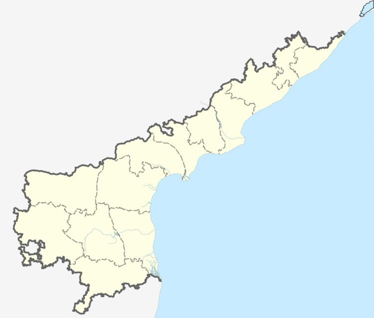
Country India District East Godavari Time zone IST (UTC+5:30) | State Andhra Pradesh Headquarters Rajahmundry Population 166,973 (2011) | |
 | ||
Weather 26°C, Wind S at 0 km/h, 88% Humidity | ||
Rajahmundry (rural) is one of the 59 mandals in East Godavari district of the state of Andhra Pradesh, India. It has its headquarters at Rajahmundry. The mandal is bounded by Seethanagaram mandal, Korukonda mandal, Rajanagaram mandal, Kadiam mandal and Atreyapuram mandal.
Contents
Demographics
As of 2011 census, the mandal had a population of 166,973. The total population constitute, 82,544 males and 84,429 females —a sex ratio of 1023 females per 1000 males. 17,423 children are in the age group of 0–6 years, of which 8,809 are boys and 8,614 are girls —a ratio of 978 per 1000. The average literacy rate stands at 76.49% with 114,391 literates. Kolamuru is the most populated village and Rajavolu is the least populated village in the mandal.
Towns and villages
Rajahmundry (rural) mandal consists of Rajahmundry municipality (part) and Morampudi (CT). Kolamuru, Rajavolu, Torredu, Bommuru (CT), Dowleswaram (CT), Hukumpeta (CT), Katheru (CT) were merged with Rajahmundry Municipal Corporation on 18 March 2013.
*CT – Census town
