
Time zone IST (UTC+5:30) Elevation 120 m Population 2,782 (2011) | 2011 census code 551637 Local time Thursday 11:58 PM | |
 | ||
Weather 26°C, Wind SW at 2 km/h, 65% Humidity | ||
Raipur is a village in the Palghar district of Maharashtra, India. It is located in the Dahanu taluka.
Contents
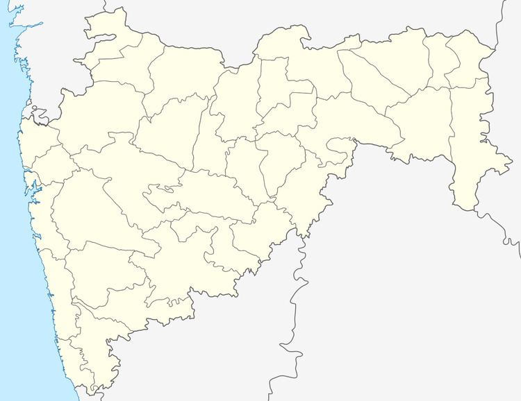
Map of Raipur, Maharashtra 401606
Demographics
According to the 2011 census of India, Raipur has 570 households. The effective literacy rate (i.e. the literacy rate of population excluding children aged 6 and below) is 29.87%.
References
Raipur, Dahanu Wikipedia(Text) CC BY-SA