
Population 900 (2006 census) Elevation 65 m | Local time Friday 1:48 AM | |
 | ||
Weather 15°C, Wind SE at 13 km/h, 72% Humidity | ||
Railton is a town situated 20 km inland from Devonport on the north-west coast of Tasmania, Australia's island state. In the 2006 census, Railton had a population of 900. It was first known as Redwater Creek and became known as Railton after the construction of a tramway line in the 1860s. Railton was first surveyed in 1853 and a railway line through the town from Deloraine to Latrobe was completed in 1885. Early settlers who were mainly farmers and timber workers lived in slab huts. The wide main street was built to make life easier for the bullock teams making their way to the railway station. By the 1900s Railton had a flourishing timber trade with 2 sawmills.
Contents
Map of Railton TAS 7305, Australia
Railton has several topiaries in various locations around the town. Visit the "Town of Topiary" website for information on how to find them
Railton promotes itself as the "Town of Topiary".
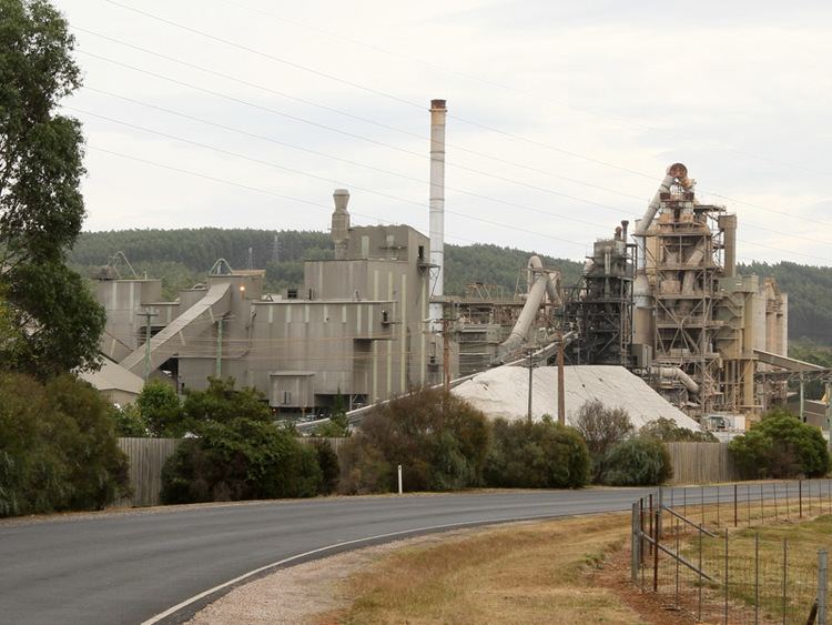
Railton is home to a Cement Australia plant which began operations in 1923. It was previously known as Goliath Cement.
Sykes Sanctuary
Sykes Sanctuary is 40 acres (160,000 m2) of bush land bequeathed by Norman Sykes to the Railton community with the instruction that it be conserved as a bird and fauna sanctuary. Sykes was an eccentric conservationist who gave up city life to live in a small shack, close to nature.