
Country India District Hapur PIN 245101 Area 3 km² | State Uttar Pradesh Time zone IST (UTC+5:30) Vehicle registration UP Local time Thursday 4:05 PM | |
 | ||
Weather 35°C, Wind W at 10 km/h, 25% Humidity | ||
There is no toilet in primary school raghunathpur uttar pradesh video volunteer gayatri reports
Raghunathpur is a village in Uttar Pradesh, India. It is part of the Hapur mandal (near Pilkhuwa) in Hapur District. Raghunathpur is located 6.3 km distance from its Mandal Main Town Hapur . Raghunathpur is 30.2 km far from Ghaziabad (Previous District) and 9.1km from its District (Hapur). The population mainly consists of Rajputs and Brahman.
Contents
- There is no toilet in primary school raghunathpur uttar pradesh video volunteer gayatri reports
- Map of Raghunathpur Uttar Pradesh 245101
- Nearest schools
- Nearest Railway Station Stops
- Other events
- References
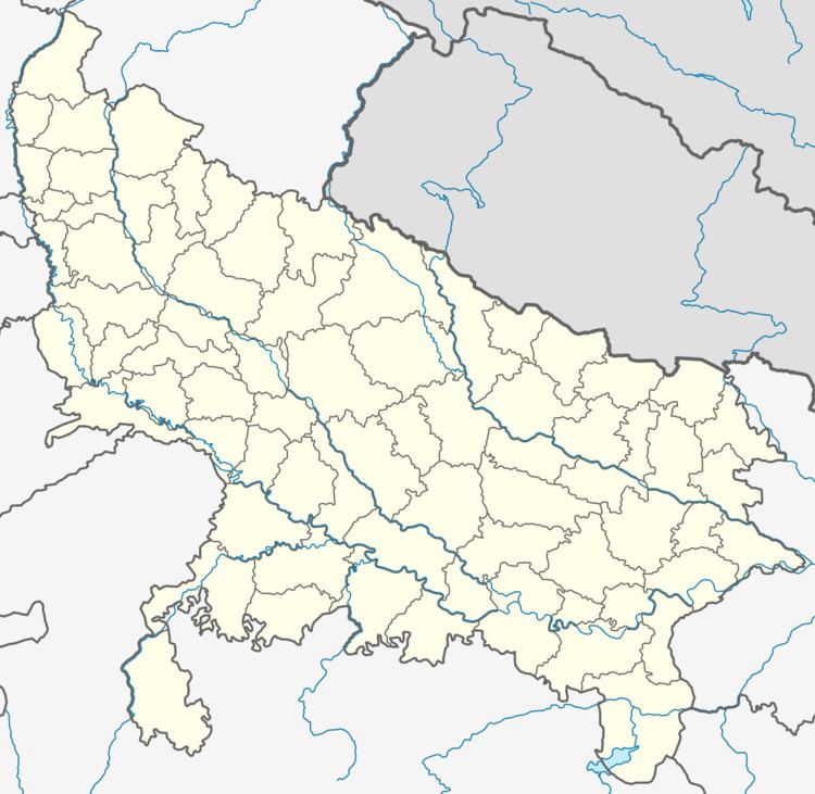
Map of Raghunathpur, Uttar Pradesh 245101
The neighbouring villages include Pootha Husainpur (1.3 km), Anwarpur (1.5 km), Girdharpur Tumrail (1.9 km), Nizampur(3 km), Nan(2.6 km). Nearest Towns are Hapur (6.3 km), Dhaulana (9.6 km), Bhojpur (14.1 km), Muradnagar (22.4 km). Hapur, Achhaija, Ahmadpur Naya Gaon, Akdauli, Alampur, Allipur Mugalpur are the villages along with this village in the same Hapur Mandal.
Nearest schools
- L N Public School
- SSV Shishu Sadan
- Saraswati Bal Mandir Senior
Secondary School
- Purv madhyamik vidhyalaya Raghunathpur
Nearest Bus Stops:
- Nizampur (3.0 km)
- Pilkhuwa (8.85 km)
- Hapur (9.1 km)
Nearest Railway Station Stops
- Pilkhua (PKW)
- Hapur Jn (HPU)
- Kastla Kasmabad Halt
Other events
Mayawati Visited Raghunathpur in 2011. where she inspected the school and asked the students about the quality of midday meal, free books and scholarship.