
Country India District Aurangabad Time zone IST (UTC+5:30) Population 2,404 (2011) | State Bihar Named for Raghunath Srivastawa. Elevation 84 m ISO 3166 code ISO 3166-2:IN | |
 | ||
Weather 34°C, Wind N at 8 km/h, 32% Humidity | ||
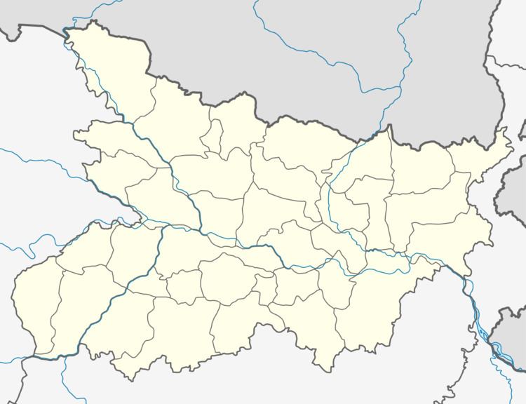
Raghunathpur is a village in Haspura block of Aurangabad District of Bihar state in India. It is part of Purhara panchayat. It belongs to Magadh division. It is located 45 km north of the district headquarters Aurangabad, and 98 km from state capital Patna.
References
Raghunathpur, Aurangabad Wikipedia(Text) CC BY-SA