
Elevation 330 m Population 437 (1 Jan 2012) | Postal code 683 21 Area 4.34 km² | |
 | ||
Website | ||
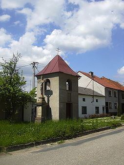
Radslavice is a village and municipality (obec) in Vyškov District in the South Moravian Region of the Czech Republic.
Map of 683 21 Radslavice, Czechia
The municipality covers an area of 4.34 square kilometres (1.68 sq mi), and has a population of 406 (as at 28 August 2006).
Radslavice lies approximately 6 kilometres (4 mi) north of Vyškov, 31 km (19 mi) north-east of Brno, and 205 km (127 mi) south-east of Prague.
References
Radslavice (Vyškov District) Wikipedia(Text) CC BY-SA