
Width 6.5 km (4.04 mi) Highest point Morkefjellet Elevation 217 m | Length 27 km (16.8 mi) Highest elevation 217 m (712 ft) County Hordaland Area 110.7 km² | |
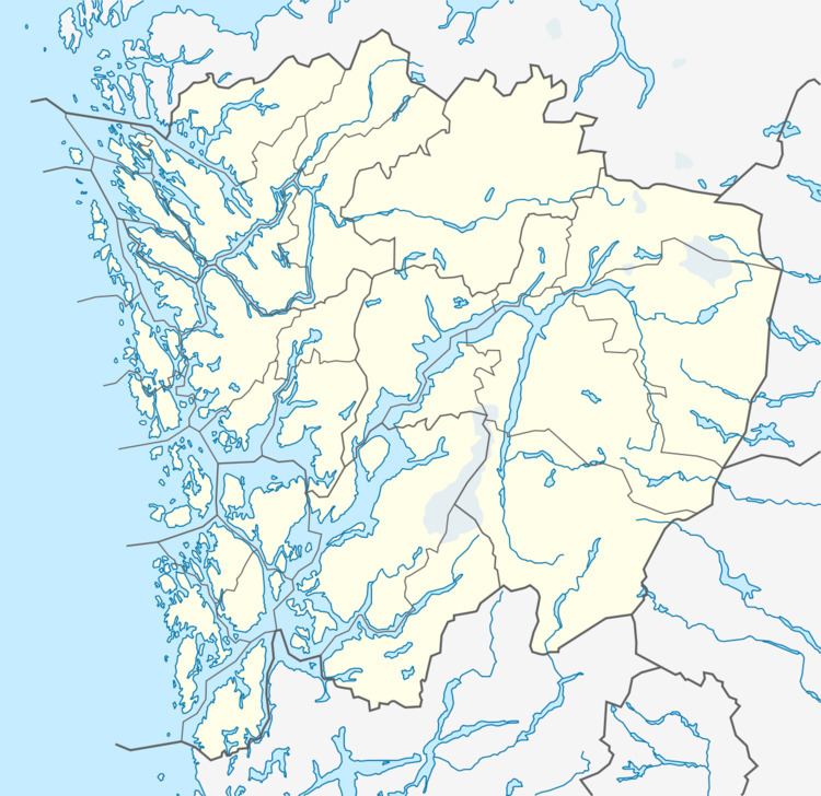 | ||
Radøy is an island in Hordaland county, Norway. It is located east of Fedjefjorden and it is part of the municipalities of Radøy and Lindås. The island has an area of 110.7 square kilometres (42.7 sq mi), with only about 3.4 square kilometres (1.3 sq mi) being part of Lindås municipality. The highest point of the island is the 217-metre (712 ft) tall Morkefjellet.
Map of Rad%C3%B8y, Norway
The island lies in the Nordhordland region of the county. The Hjeltefjorden and Radfjorden flow along the western coast and the Lurefjorden and Radsundet flow along the eastern coast. The island of Fosnøyna lies to the north of Radøy, the island of Toska lies to the west, the island of Holsnøy lies to the south, and the Lindås peninsula lies to the east.
The island had a population of 5,280 inhabitants in 2001, with the largest urban areas being the village of Manger on the west-central coast and the village of Bøvågen on the northern coast. Radøy is connected to the mainland via the Alversund Bridge on the southern tip of the island.
Historically, the island was part of the old municipalities of Manger which was divided into three municipalities in 1924: Hordabø, Manger, and Sæbø. In 1964, almost all of the island was united as Radøy municipality.