Population 242 (2011 census) | Postcode(s) 4740 Postal code 4740 | |
 | ||
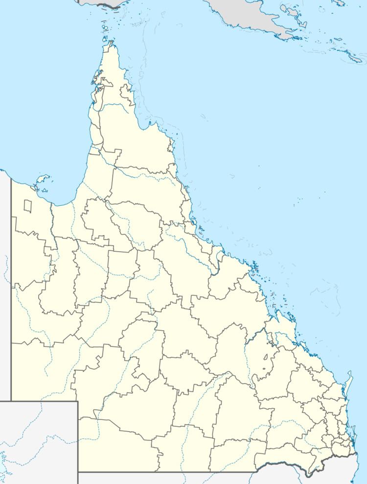
Racecourse is a suburb of Mackay in Mackay Region, Queensland, Australia. At the 2011 Australian Census the locality recorded a population of 242.
Contents
Map of Racecourse QLD 4740, Australia
Geography
The northern boundary follows a small section of the Pioneer River while most the eastern boundary is aligned with the North Coast railway line.
Most of the land in Racecourse is used for the cultivation of sugar cane. The cane is transport by rail and refined at the local Racecourse Sugar Mill.
Heritage listings
Racecourse has a number of heritage-listed places, including:
References
Racecourse, Queensland Wikipedia(Text) CC BY-SA
