
Length 33 km | ||
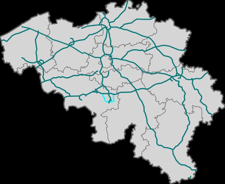 | ||
The R3 is a ring road around the city of Charleroi, Belgium. It is about 33 km long, with 2 lanes in each direction on most of its length and short sections with 2 + 3 lanes. While Charleroi is one of only few Belgian cities with a complete ring road, the R3 road only covers the western, southern and eastern portions of the ring, the northern part being covered by the A15 motorway.
Contents
Map of R3, Belgium
The speed limit is 120 km/h (75 mph) on the entire length, except in some tunnels and on the Couillet viaduct, where the limit is lower.
History
The R3 was opened in phases from 1983 till 1988.
References
R3 (ring road) Wikipedia(Text) CC BY-SA