
South end: N1 in Cape Town | North end: N14 in Keimoes | |
 | ||
Major cities Cape Town, Melkbosstrand, Western Cape, Velddrif, Vanrhynsdorp, Vredendal, Kenhardt, Brandvlei, Keimoes | ||
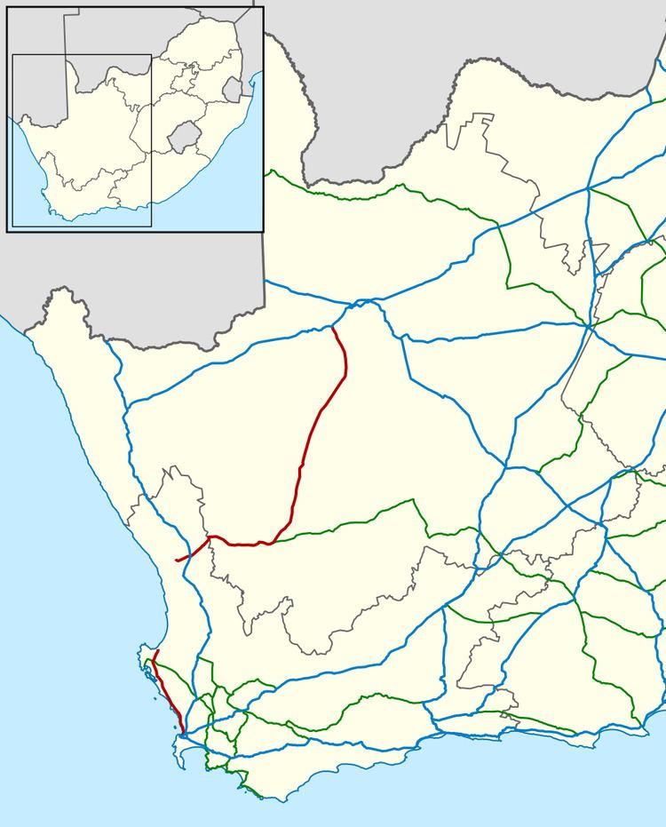
The R27 is a provincial route in South Africa that consists of two disjoint segments. The first segment, also known as the West Coast Highway, connects Cape Town with Velddrif along the West Coast. The second runs from Vredendal via Vanrhynsdorp, Calvinia, Brandvlei and Kenhardt to Keimoes on the N14 near Upington. The connection between Velddrif and Vredendal has never been built, although it can be driven on various gravel roads.
Map of R27, South Africa
Originally the R27 designation continued beyond Upington all the way to Pretoria, but this section became part of the N14 and various other roads.
In Cape Town the highway connects with Table Bay Boulevard (N1) near the Table Bay Harbor and then runs north along the coast for stretch that is known as Marine Drive. This stretch contains many industrial warehouses. Later the road moves further inland and the M14 becomes the main coastal road. Further north the road passes through West Coast National Park before reaching Velddrif.
The northern segment of the road is exceptionally desolate; it is a distance of 370 kilometres (230 mi) from Calvinia to Keimoes, and the only towns along the way are Brandvlei and Kenhardt.