
Existed: 1986 – present South end: St. Petersburg Constructed 1986 | Length 1,592 km | |
 | ||
Major cities | ||
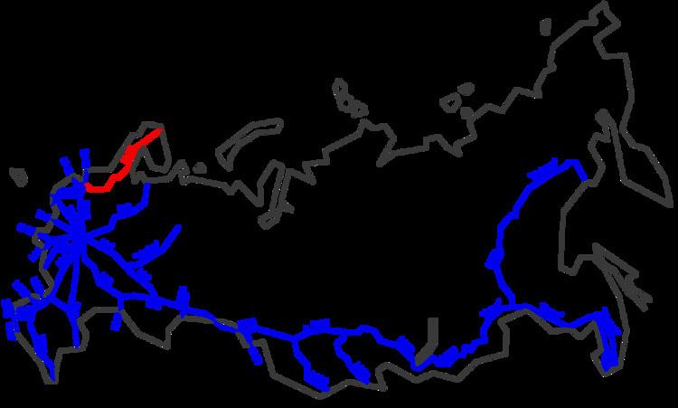
The R21 highway (in Cyrillic Р21), also known as the Kola Motorway, is a major highway in Russia, running from Saint Petersburg to Murmansk. The highway is part of the E105 European route. The highway is the main transportation route by road in the Republic of Karelia and the Murmansk Oblast. Its length is 1592 kilometers.
Contents
Map of a%2Fd Kola, Russia
Route
The R21 highway runs from Saint Petersburg, south of Lake Ladoga to Petrozavodsk, Kondopoga, Medvezhyegorsk, Segezha, Kem, Loukhi, Kandalaksha, Polyarnye Zori, Monchegorsk, Olenegorsk, Kola and ends in Severomorsk. It passes the Arctic circle a couple of kilometers south of the border of Karelia and the Murmansk oblast, north of Loukhi.
Landscape
In the Republic of Karelia, the landscape through which the R21 runs is mainly forest (birches), rivers and lakes. In the Murmansk Oblast, the highway runs for the most part through the Kola Peninsula, a severely polluted area. The landscape here is more open and consists partly of half-tundra.