
Province Leinster | ||
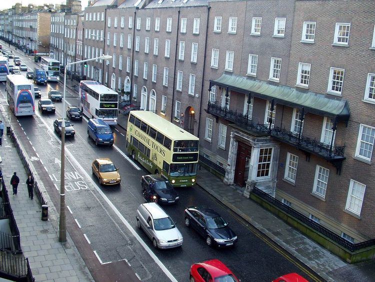 | ||
The R138 road is a regional road in Ireland. It commences at the south end of O'Connell Bridge in Dublin city centre. It proceeds along D'Olier Street, College Street (and in the opposite direction, Westmoreland Street).
Map of R138, Dublin, Ireland
The route continues around College Green and Grafton Street (and in the other direction, Suffolk Street, Church Lane and Dame Street). From here, it continues out of the city via Nassau Street, Kildare Street, the north side of St. Stephen's Green, Merrion Row, Baggot Street Lower, Pembroke Street Lower, Fitzwilliam Square West and Pembroke Street Upper. This route section in the other direction (into the city centre) runs via Leeson Street Lower (see thumbnail), east and north sides of St. Stephen's Green, and Dawson Street.
The R138 runs in both directions along Leeson Street Lower after the junction with Pembroke Street. Having crossed the Grand Canal, the route divides again for a portion of Leeson Street Upper, with outbound traffic proceeding via Sussex Road. It continues via Morehampton Road and Donnybrook Road, through Donnybrook, with the route becoming dual carriageway at Donnybrook Church, which marks the beginning of the Stillorgan Road.
The Stillorgan Road brings the road past Belfield, where University College Dublin is located (and accessed from a grade-separated interchange on the dual carriageway - the first full interchange built in Ireland) and onwards to its junction with the N11 and N31 at Mount Merrion Avenue.