
Country Canada Constituted January 1, 1986 Highways Route 117 (TCH) Local time Saturday 3:13 PM Province Québec | Region Abitibi-Témiscamingue Time zone EST (UTC−5) Area 4,666 km² Population 0 (2011) RCM Abitibi-Témiscamingue | |
 | ||
Weather -3°C, Wind N at 13 km/h, 32% Humidity Points of interest Baie Desmarais, Baie Koebos, Baie Kawastaguta | ||
Réservoir-Dozois is an unorganized territory in the Abitibi-Témiscamingue region of Quebec, Canada. It is the largest of five unorganized territories in the La Vallée-de-l'Or Regional County Municipality and entirely part of the La Vérendrye Wildlife Reserve.
Contents
Map of R%C3%A9servoir-Dozois, QC, Canada
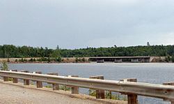
It is named after the Dozois Reservoir, a large reservoir which formed after the construction of the Bourque Dam on the Ottawa River in 1949.
Demographics
Population:
References
Réservoir-Dozois, Quebec Wikipedia(Text) CC BY-SA