
Elevation 5,288 m | ||
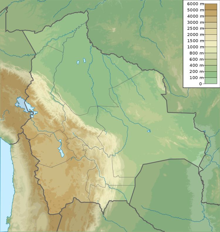 | ||
Location BoliviaLa Paz Department, Murillo Province, La Paz Municipality | ||
Qutapata (Aymara quta lake, pata step, also spelled Khotapata) is a 5,288 metres (17,349 ft) high mountain in the Cordillera Real in the Bolivian Andes. It is situated in the La Paz Department, Murillo Province, La Paz Municipality, near the border with the Sud Yungas Province, Yanacachi Municipality. Qutapata lies south-west of the mountain Sirk'i Qullu, west of the mountain Jathi Qullu and south of the lake Sirk'i Quta.
Map of Qutapata, Bolivia
The river Jathi Jawira (Hati Jahuira) originates between Jathi Qullu and Qutapata. It flows to the Pallquma River (Palcoma) in the south-west. Pallquma River is an affluent of Irpawi River (Irpavi), a tributary of the Choqueyapu River.
References
Qutapata (Murillo) Wikipedia(Text) CC BY-SA