
Quadrant NW Sector Mature area Area 21 ha | Ward 5 Elevation 667 m Population 346 (2012) | |
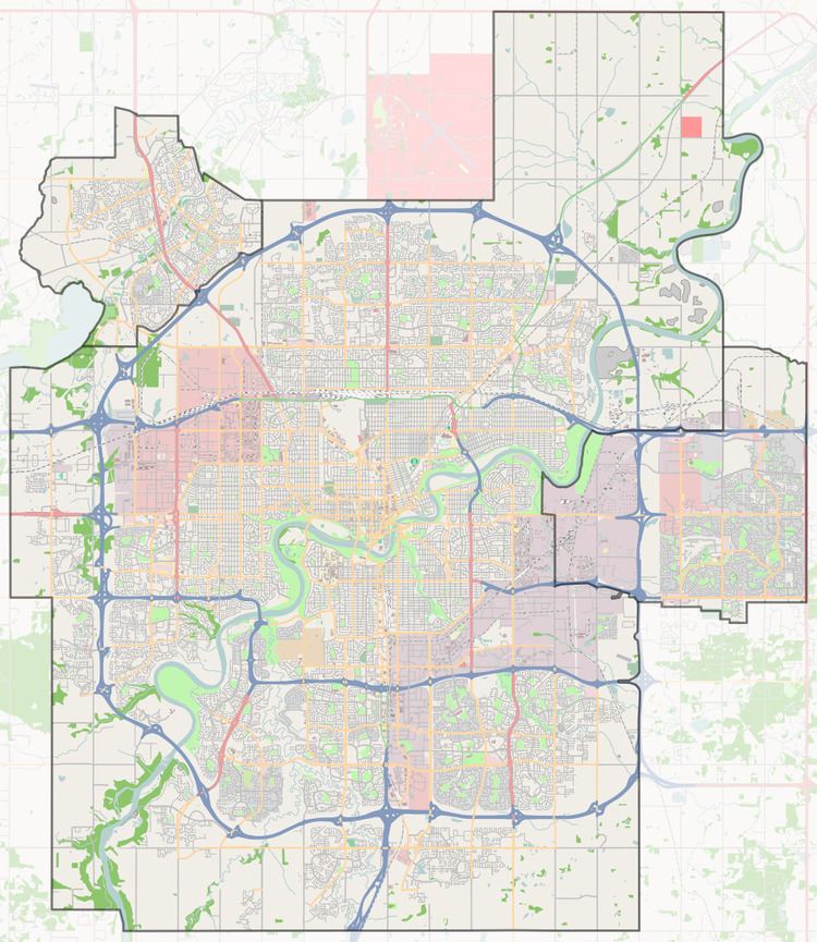 | ||
Quesnell Heights is a neighbourhood in west Edmonton, Alberta, Canada. It is bounded by the Rio Terrace neighbourhood across 149 Street to the west, Whitemud Drive to the north and east, the North Saskatchewan River valley to the south.
Contents
- Map of Quesnell Heights Edmonton AB Canada
- History
- Demographics
- Transportation
- Amenities
- Housing
- References
Map of Quesnell Heights, Edmonton, AB, Canada
History
Approximately 83% of construction in Quesnell Heights occurred during the 1960s with most of the remainder occurring during the 1970s.
Demographics
In the City of Edmonton's 2012 municipal census, Quesnell Heights had a population of 7002346000000000000♠346 living in 7002124000000000000♠124 dwellings, a -10.6% change from its 2009 population of 7002387000000000000♠387. With a land area of 0.21 km2 (0.081 sq mi), it had a population density of 7003164760000000000♠1,647.6 people/km2 in 2012.
Transportation
Vehicle access to Quesnell Heights is limited to the 156 Street overpass over Whitemud Drive and the 159 Street interchange along Whitemud Drive via Rio Terrace and Patricia Heights to the west.
The Edmonton Transit System provides bus service to the neighbourhood via 76 Avenue to the west through Rio Terrace.
Pedestrian access to the neighbourhood is available from Laurier Heights via a pedestrian bridge over the Whitemud Drive.
Amenities
Quesnell Park, one hectare in size, is located near the geographic centre of the neighbourhood between Quesnell Road and Quesnell Crescent.
Housing
In 2005, all of the 118 dwelling units in Quesnell Heights were single-family dwellings, of which only one was occupied by a renter.