
Length 1.5 km | Southbound end Ragged Staff Road | |
 | ||
Northbound end Glacis RoadWaterport Avenue | ||
Queensway is a main coastal road in the British Overseas Territory of Gibraltar and the only road servicing the oldest leisure marina on The Rock, Queensway Quay. It connects the marina with the industrial park in the southern end of the Gibraltar Harbour.
Contents
Map of Queensway Rd, Gibraltar GX11 1AA, Gibraltar
Description
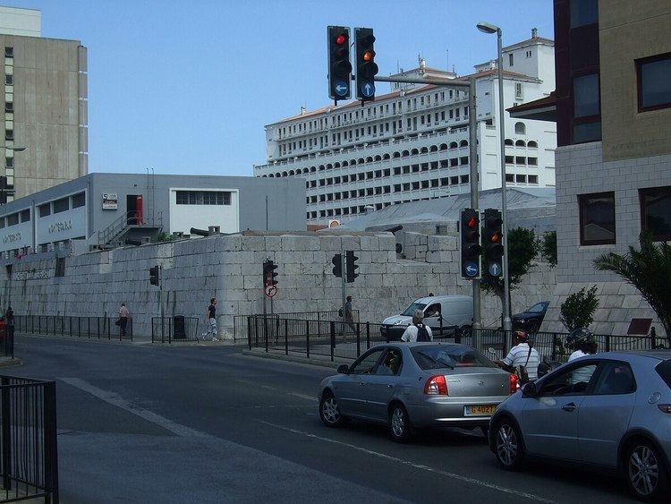
Queensway is built on reclaimed land immediately to the west of Line Wall Curtain, Gibraltar's main city wall and runs along most of its length. It was renamed Queensway after a visit by Queen Elizabeth II in 1954. The road begins in northern Gibraltar at the roundabout with Glacis Road and Waterport Avenue. It begins to the southwest for about 100 metres (330 ft) before heading south-southwest. It passes Europort Avenue and Reclamation Road before passing running parallel to Gibraltar Harbour. Near the dockyard there is a roundabout at Ragged Staff Gates connecting it to Ragged Staff Road. Queensway comes to an end at this roundabout, although a road continues into the industrial park and dockyard.
Economy
Queensway Quay located west of this road takes its name. In the early 1990s, Taylor Woodrow facilitated a £50 million development along Queensway, developing a hotel, apartments and marina complex at the quayside. Several rowing clubs are located in the area.