
Country Canada Town Niagara-on-the-Lake Time zone EST (UTC-5) Province Ontario | Regional municipality Niagara Settled 1770s Forward sortation area L0S Local time Tuesday 6:47 AM | |
 | ||
Weather 4°C, Wind W at 10 km/h, 78% Humidity | ||
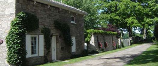
Queenston is a Compact Rural Community and unincorporated place 5 kilometres (3.1 mi) north of Niagara Falls in the Town of Niagara-on-the-Lake, Ontario, Canada. It is bordered by Highway 405 to the south and the Niagara River to the east; its location at the eponymous Queenston Heights on the Niagara Escarpment led to the establishment of the now-defunct Queenston Quarry in the area. Across the river and the Canada–US border is the village of Lewiston, New York. The Lewiston-Queenston Bridge links the two communities.
Map of Queenston, Niagara-on-the-Lake, ON, Canada
Queenston was first settled in the 1770s by United Empire Loyalist refugees and immigrants from the United States. During the War of 1812, British, Mohawk and Canadian colonial troops repelled an American invasion force here in the Battle of Queenston Heights. British Major-General Sir Isaac Brock was killed in the battle; the victory and his death are commemorated by an impressive stone monument atop the Niagara Escarpment and surmounted by a large stone statue of Brock overlooking the village below. Nearby is a smaller monument to Brock's gray horse, Alfred. It was also the home of Laura Secord, a Canadian heroine of the 1812 war.
RiverBrink Art Museum is also in Queenston. It is home to a unique collection of over 1,400 artworks and artefacts by Canadian and international artists, assembled by Samuel E. Weir. Completed in 1970, the building features Georgian-style architecture, including a mansard roof and gabled windows. It served as Weir's country residence, and was converted into an art museum following his death in 1981.
This village is at the point where the Niagara River began eroding the Niagara Escarpment. During the ensuing 12,000 years the Falls cut an 11 kilometres (6.8 mi) long gorge in the Escarpment southward to its present-day position.
In the early 19th century, the community's name was spelled as Queenstown.
Queenston marks the southern terminus of the Bruce Trail. The cairn marking the trail's terminus is in a parking lot, about 160 metres (520 ft) from General Brock's Monument on the easterly side of the monument's park grounds.