
Established 1786 Local time Tuesday 6:32 AM | Time zone AST (UTC-4) Population 1,272 (2011) | |
 | ||
Weather -7°C, Wind SE at 2 km/h, 81% Humidity | ||
Queensbury is a Canadian parish in York County, New Brunswick.
Contents
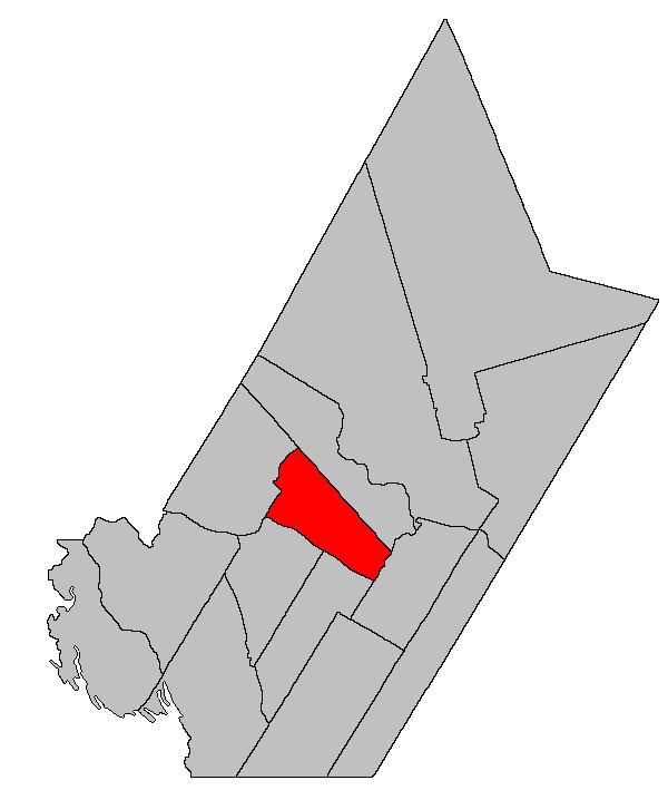
Map of Queensbury, NB, Canada
Its population in the 2011 Census was 1,272.
Delineation
Queensbury Parish is defined in the Territorial Division Act as being bounded:
Northeast by Bright Parish; south and southwest by the Saint John River; and northwest by a line commencing at the Saint John River, at the southern angle of lot number one, granted to Joseph Cunliff, near the mouth of the Nackawic Stream; thence running northeasterly along the lower or southeastern line of said lot and its prolongation until it strikes the southwestern line of land granted to William Dobie, in Caverhill; thence northwesterly along the said line of said grant and its prolongation till it strikes the southeastern line of a grant to Henry Morehouse and three others; thence northeasterly along the line of said grant to its eastern angle; thence northwesterly along the northeast side of the said grant till it strikes the East Branch Nackawic Stream; thence following the course of the said river up stream to the forks at the mouth of the Burtt Lake Branch and thence following the course of the said Burtt Lake Branch up stream till it strikes the line of the parish of Bright.Governance
The entire parish forms the local service district of the parish of Queensbury, established in 1966 to assess for fire protection. Community services were added in 1967 and first aid and ambulance services in 1978.
Communities
Parish population total does not include incorporated municipalities (in bold):
References
Queensbury Parish, New Brunswick Wikipedia(Text) CC BY-SA