
Quadrant NW Sector Mature area Elevation 671 m | Ward 8 Area 123 ha Population 4,694 (2012) | |
 | ||
Restaurants SFC Seoul Fried Chicken, The Buckingh, Buddy Wonton Seafood, Tilted Kilt Edmonton, The Keg Steakhou + Bar | ||
Queen Alexandra is a mixed residential and commercial neighbourhood in south west Edmonton, Alberta, Canada. The neighbourhood, once part of the City of Strathcona, is named for Alexandra, the wife of Edward VII of England. The north edge of the neighbourhood, along Whyte Avenue is part of Old Strathcona, a popular commercial and cultural area of Edmonton.
Contents
- Map of Queen Alexandra Edmonton AB Canada
- Demographics
- Residential development
- Population mobility
- Schools and recreation
- References
Map of Queen Alexandra, Edmonton, AB, Canada
The neighbourhood is bounded on the north by Whyte Avenue, on the west by 109 Street, on the east by 104 Street, and on the south by 70 Avenue.
The University of Alberta campus is located a short distance to the west of the neighbourhood. Access to the downtown core is north along both 109 Street and 104 Street.
Demographics
In the City of Edmonton's 2012 municipal census, Queen Alexandra had a population of 7003469400000000000♠4,694 living in 7003327500000000000♠3,275 dwellings, a 1.3% change from its 2009 population of 7003463200000000000♠4,632. With a land area of 1.23 km2 (0.47 sq mi), it had a population density of 7003381630000000000♠3,816.3 people/km2 in 2012.
Residential development
Queen Alexandra is an older Edmonton neighbourhood with residential development beginning with the establishment of the City of Strathcona.
According to the 2001 federal census, approximately one in seven (15.6%) of all residences were built before the end of World War II. One in five (20.8%) were built between the end of the war and 1960. Another one in five (19.7%) residences were built during the 1960s. Indicating some redevelopment in the neighbourhood, one in three (31.9%) of all residences were built during the 1970s. Only one in eight (12.1%) of all residences were constructed after 1980.
According to the 2005 municipal census, the most common type of residence in the neighbourhood are rented apartments. Just over half (51%) of all residences are apartments in low-rise buildings with fewer than five stories while almost one in ten (8%) are apartments in high-rise buildings with five or more stories. One in three (31%) of all residences are single-family dwellings. Seven percent are duplexes while 3% are collective residences. Four out of every five (80%) residences are rented with only on residence in five (20%) being owner occupied.
Population mobility
The neighbourhood population is highly mobile. According to the 2005 municipal census, one resident in three (33.2%) had moved within the previous twelve months. Another three in ten (27.9%) had moved within the previous one to three years. Only one resident in four (26.6%) had lived at the same address for five years or more.
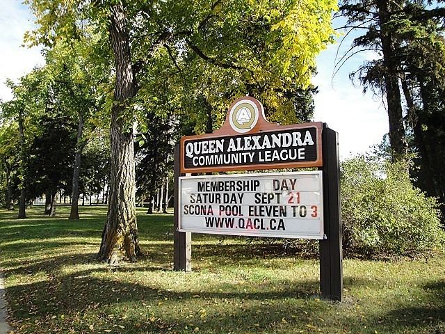
Schools and recreation
There are five schools in the neighbourhood. Four are operated by the Edmonton Public School System while one is operated by the Edmonton Catholic School System.
There are also several recreation facilities located in the neighbourhood.
A short distance to the east of the neighbourhood is Edmonton's Mill Creek Ravine, a popular outdoor recreation destination.