
Country Afghanistan Time zone + 4.30 Local time Monday 4:36 PM | Elevation 248 m | |
 | ||
Weather 24°C, Wind E at 34 km/h, 23% Humidity | ||
Qarah Tappeh (also Kara Tapa Kalan and Qara Tepe Kālan) is a fortified village in southern Khamyab District, Jowzjan Province, Afghanistan. It has an altitude of 248 m. (816 ft.). It was a crossroads for goods between the Andkhoy - Khamyab (town) route and the Kerki - Akcha route.
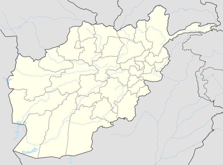
Map of Qarah Tappeh, Afghanistan
References
Qarah Tappeh, Afghanistan Wikipedia(Text) CC BY-SA