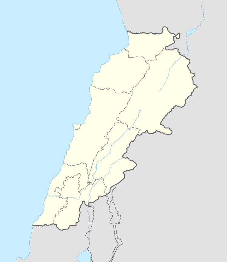
Grid position 193/297 PAL Governorate Nabatieh Governorate Elevation 470 m (1,540 ft) Area code +961 | Country Lebanon District Marjeyoun District Time zone EET (UTC+2) | |
 | ||
Qantara (قنطرة ) is a village in the Marjeyoun District in southern Lebanon.
Contents
Map of Qantara, Lebanon
Name
According to E. H. Palmer, the name means "the arch".
History
In 1875 Victor Guérin found that the village had 150 Metawileh inhabitants. He further remarked: "The mosque is built of hewn stones of apparent antiquity. Its door is surmounted by a lintel belonging to an ancient Christian church, in the midst of which can be made out a cross with equal branches enclosed in a circle."
In 1881, the Palestine Exploration Fund's Survey of Western Palestine (SWP) described it: "A village, built of stone, containing about 250 [..] Metawileh, situated on an isolated and conspicuous hill, and surrounded by gardens, olives, and figs. There are two perennial springs a little to the south of the village."
