
Country United States Area code(s) 845 Elevation 172 m Population 11,809 (2010) | State New York Time zone Eastern (EST) (UTC-5) FIPS code 36-60147 Zip code 10579 Local time Thursday 12:36 PM | |
 | ||
Weather 9°C, Wind N at 10 km/h, 35% Humidity | ||
How to say or pronounce usa cities putnam valley new york
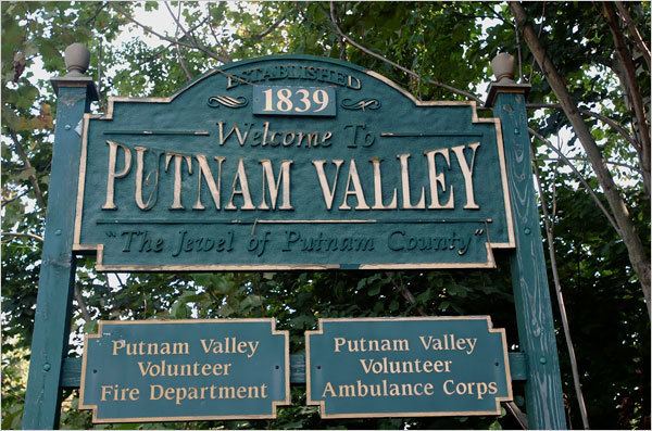
Putnam Valley is a town in Putnam County, New York, United States. The population was 11,809 at the 2010 census. Its location is northeast of New York City, in the southwest part of Putnam County. Many people live in Putnam Valley and commute to New York City daily for work or recreational purposes (Midtown Manhattan is around a forty five to fifty minute drive). Putnam Valley calls itself the "Town of Lakes".
Contents
- How to say or pronounce usa cities putnam valley new york
- Map of Putnam Valley NY USA
- History
- Geography
- Demographics
- Government
- Communities and locations in Putnam Valley
- References
Map of Putnam Valley, NY, USA
History
The retreating glaciers of the last ice age did much to shape the landscape of Putnam Valley, including the shearing of hills to expose springs (creating, for example Bryant Pond) and leaving the glacial deposits of stone and large boulders. The current area of Putnam Valley was occupied by paleo-Indians followed by the historic Wappinger Indians who lived by the many lakes.
In 1697, the Highland Patent was granted to Adolph Philipse. The first settlers, the Shulman family among them, arrived around 1740. In 1745 the Smith property was sold to the Bryant family, who renamed their pond Bryant Pond and the nearby hill, Bryant Hill. The Smith family homestead is the oldest house in Putnam Valley, located just east of the Taconic Parkway on Bryant Pond Road.
Putnam Valley incorporated in 1839 as the town of Quincy, when it was separated from the town of Philipstown, and it took the name "Putnam Valley" in 1840 as a result of inhabitants being unfavorably impressed with John Quincy Adams.
In 1861, a small part of the town of Carmel was added to Putnam Valley.
Geography
According to the United States Census Bureau, the town has a total area of 43.0 square miles (111 km2), of which 41.4 square miles (107 km2) is land and 1.6 square miles (4.1 km2), or 3.72%, is water.
The south town line is the border of Westchester County.
The Taconic State Parkway passes through the eastern part of the town.
Demographics
At the 2000 census, there were 10,686 people, 3,676 households and 2,874 families residing in the town. The population density was 258.2 per square mile (99.7/km²). There were 4,253 housing units at an average density of 102.7 per square mile (39.7/km²). The racial makeup of the town was 94.54% White, 1.60% African American, 0.19% Native American, 0.85% Asian, 1.28% from other races, and 1.53% from two or more races. Hispanic or Latino of any race were 6.28% of the population.
There were 3,676 households of which 39.4% had children under the age of 18 living with them, 67.1% were married couples living together, 8.0% had a female householder with no husband present, and 21.8% were non-families. 17.1% of all households were made up of individuals and 4.8% had someone living alone who was 65 years of age or older. The average household size was 2.89 and the average family size was 3.28.
Age distribution was 26.7% under the age of 18, 6.0% from 18 to 24, 31.5% from 25 to 44, 27.1% from 45 to 64, and 8.7% who were 65 years of age or older. The median age was 38 years. For every 100 females there were 99.3 males. For every 100 females age 18 and over, there were 98.2 males.
The median household income was $72,938, and the median family income was $82,576. Males had a median income of $56,976 versus $36,875 for females. The per capita income for the town was $31,215. About 2.7% of families and 4.8% of the population were below the poverty line, including 6.4% of those under age 18 and 1.7% of those age 65 or over.
Government
The Town of Putnam Valley is governed by a town board. The town hall is located at 265 Oscawana Lake Road in Putnam Valley. Law enforcement services for Putnam Valley are provided by the New York State Police and the Putnam County Sheriff's Department.