
OS grid reference SP709455 Local time Thursday 2:25 PM | Sovereign state United Kingdom Postcode district NN12 Dialling code 01327 | |
 | ||
Weather 19°C, Wind S at 24 km/h, 47% Humidity | ||
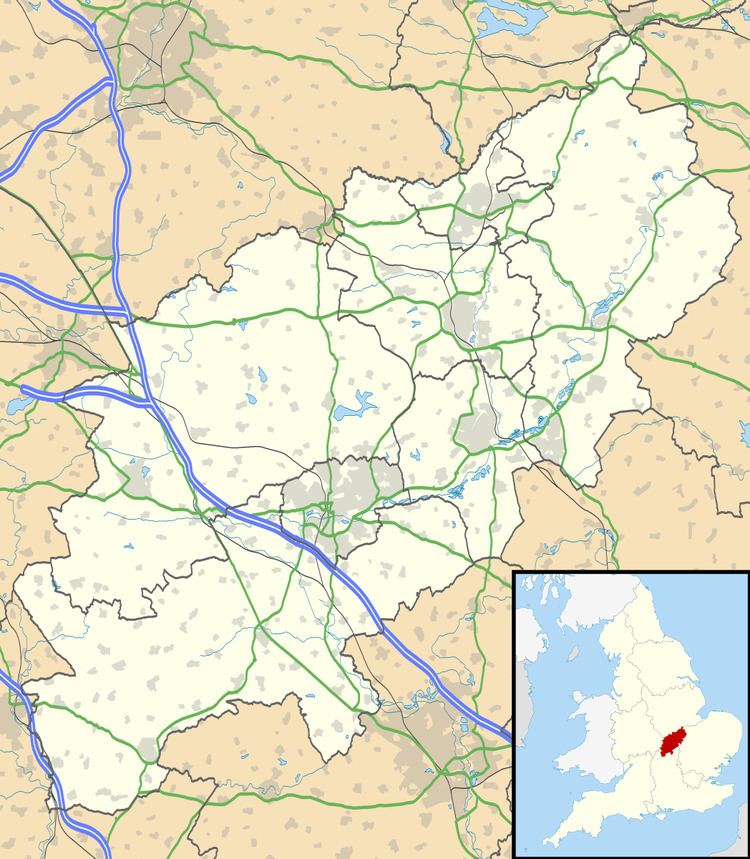
Pury End is a hamlet of approximately 100 houses in the civil parish of Paulerspury, near Towcester in South Northamptonshire, England. The Grafton Way footpath crosses through the village and runs down Carey's Road. The population of the parish, including Pury End, Plumpton and Paulerspury, was 1,018 in the 2011 census.
Map of Pury End, Towcester, UK
Historically, the village is significant as the birthplace of the missionary William Carey (1761). The cottage of his birth no longer exists, but its site is marked by a stone memorial on Carey's Road, named after him.
During World War II, the small hamlet was hit by a stray bomb. Several houses were damaged – the Manor Farm, "Little Farm", the Bricklayers' Arms pub and the Primitive Methodist Chapel (now known as "Old Chapel Cottage").