
Population 459 (2006 census) LGA(s) Shire of Moyne Postal code 3278 Federal division Division of Wannon | Postcode(s) 3278 State electorate(s) South West Coast Local time Thursday 10:55 PM | |
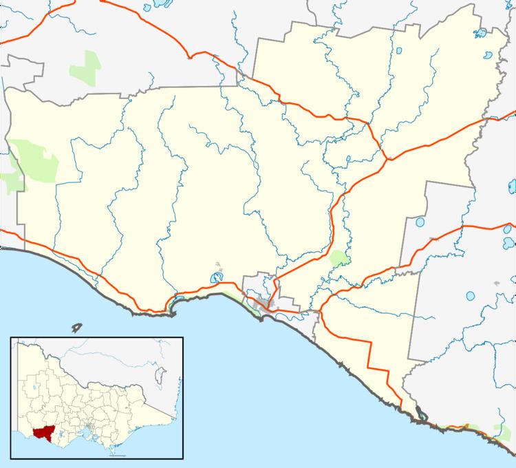 | ||
Location 250 km (155 mi) WSW of Melbourne
20 km (12 mi) NE of Warrnambool
31 km (19 mi) SW of Mortlake Weather 12°C, Wind S at 16 km/h, 68% Humidity | ||
Purnim /ˈpɜːrnᵻm/ is a township in Victoria, Australia. The town is located 250 kilometres (155 mi) south west of the state capital, Melbourne, on the Hopkins Highway midway between Warrnambool and Mortlake. At the 2006 census, Purnim and the surrounding area had a population of 459.
Map of Purnim VIC 3278, Australia
Purnim Post Office opened on 1 November 1868.
Buildings of interest are the Purnim Hotel, Purnim Mechanics Institute hall (built in 1901), the abandoned Australian rules football oval, the primary school, and a church. A milk bar was joined to one of the houses until 2003.
Purnim has a cricket team competing in the Grassmere Cricket Association.
References
Purnim, Victoria Wikipedia(Text) CC BY-SA