
Population 256 (2006 census) Time zone ACST (UTC+9:30) Local time Thursday 7:10 PM | Postcode(s) 5354 Postal code 5354 | |
 | ||
Location 57 km (35 mi) SE of Nurioopta Weather 16°C, Wind S at 23 km/h, 49% Humidity | ||
Punyelroo is a town located on the Murray River in South Australia, Australia, approximately 5 kilometres downstream from Swan Reach, but on the opposite (western or right) bank. The town is named after a local homestead. It accessible only by well-made dirt road, most conveniently off the Sedan Swan Reach Road. At the 2006 census, Punyelroo had a population of 256.
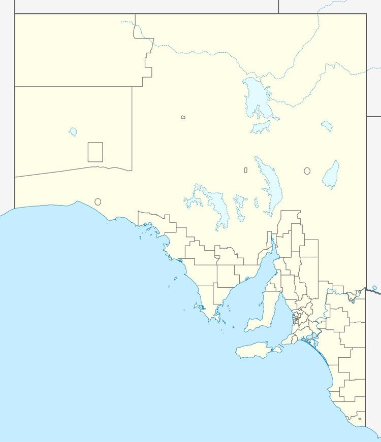
Map of Punyelroo SA 5353, Australia
Punyelroo is known for the Punyelroo Cave, located on the banks of the Murray River. The cave is approximately 3 kilometres in length, and is the longest of the several caves located in the Murray Plains area.
Punyelroo is a town with water front properties and shacks. There is also a caravan park with a boat ramp.
References
Punyelroo, South Australia Wikipedia(Text) CC BY-SA