
Quadrant SW Established 1967 Population 1,849 (2006) | Ward 11 Elevation 1,095 m Local time Wednesday 10:32 PM Mayor Naheed Nenshi | |
 | ||
Website Pump Hill Community Association Weather 4°C, Wind SW at 5 km/h, 62% Humidity | ||
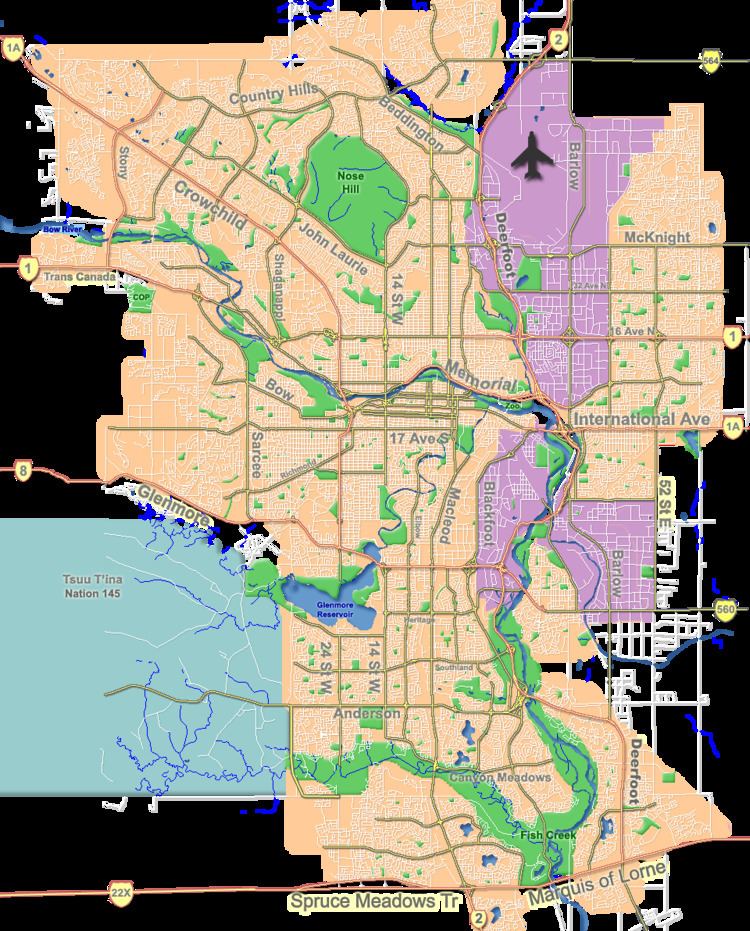
Pump Hill is a residential neighbourhood in the south-west quadrant of Calgary, Alberta. It is bounded to the north by Heritage Drive and the Glenmore Reservoir, to the east by 14 Street W, to the south by Southland Drive and to the west by 19 Street W.
Contents
Map of Pump Hill, Calgary, AB, Canada
Pumphill was developed starting with 1967, when it was still incorporated in Palliser. It became a neighbourhood in its own right in 1991. It is represented in the Calgary City Council by the Ward 11 councillor.
Demographics
In the City of Calgary's 2012 municipal census, Pump Hill had a population of 7003161400000000000♠1,614 living in 7002563000000000000♠563 dwellings, a -2.5% increase from its 2011 population of 7003165500000000000♠1,655. With a land area of 0.9 km2 (0.35 sq mi), it had a population density of 1,790/km2 (4,640/sq mi) in 2012.
Residents in this community had a median household income of $93,360 in 2000, and there were 6.2% low income residents living in the neighbourhood. As of 2000, 16.5% of the residents were immigrants. A proportion of 21.7% of the buildings were condominiums or apartments, and 28.4% of the housing was used for renting.
Education
The community is served by Nellie McClung Elementary and John Ware Junior High public schools as well as by the St. Benedict Elementary (Catholic).