
Postcode(s) 2650 Local time Thursday 1:39 PM | Postal code 2650 | |
 | ||
Weather 19°C, Wind SW at 21 km/h, 44% Humidity | ||
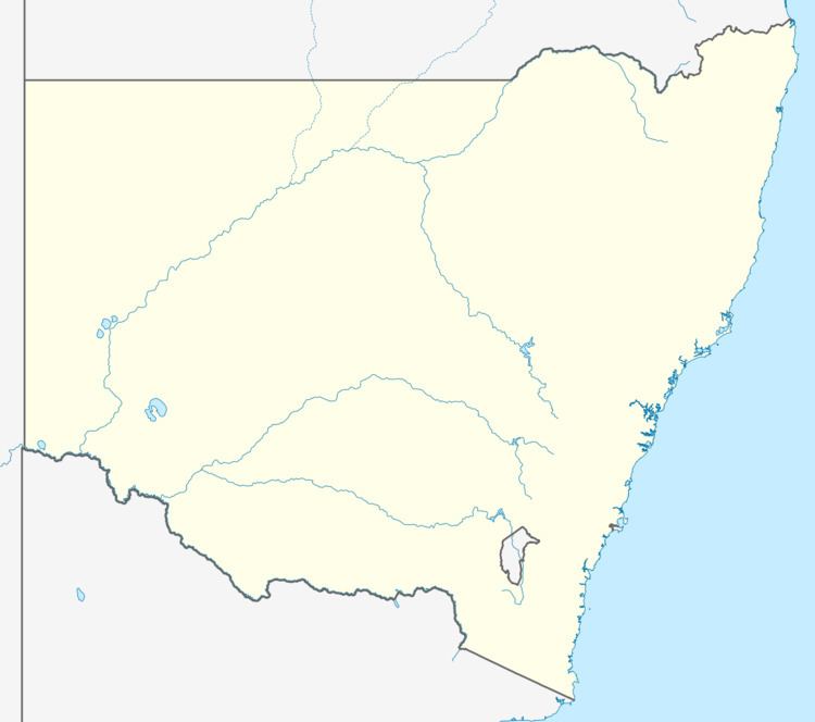
Pulletop is a rural locality in the south eastern part of the Riverina - it used to be called Pullitop. It is situated by road, about 5 kilometres east south-east from Burrandana and 9 kilometres north from Westby.
Map of Pulletop NSW 2650, Australia
References
Pulletop, New South Wales Wikipedia(Text) CC BY-SA