
Country United States Area 19.36 km² | Time zone Pacific (PST) (UTC-8) | |
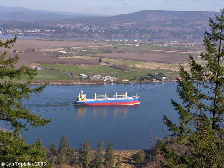 | ||
Puget Island is a 19.365 km² (4,785 acre; 7.5 sq mi) island and Census-designated place (CDP) in the Columbia River in Wahkiakum County, Washington, United States. The Julia Butler Hansen Bridge (built in 1938) carries State Route 409 across the Cathlamet Channel to connect the island to the town of Cathlamet, Washington. Route 409 crosses the island to its southern shore, where it connects with the county-operated Wahkiakum County Ferry, Wahkiakum, providing service to Westport, Oregon. The 2000 census reported a population of 798 persons.
Map of Puget Island, Washington 98612, USA
Puget Island's Robert W. Little Preserve is home to a population of endangered Columbian White-tailed Deer.
The island was named for Peter Puget, a lieutenant in the Vancouver Expedition of exploration, which first mapped the island in 1792.