
Length 16.6 km | ||
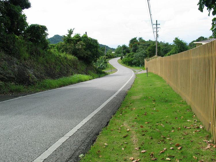 | ||
Puerto Rico Highway 505 is a tertiary state highway in Ponce, Puerto Rico. The road runs north to south, and mostly alongside Río Bayagán in barrio Machuelo Arriba. Its southern terminus is at its intersection with PR-14, near PR-10 and PR-139. The road connects the municipalities of Ponce and Jayuya, and serves the communities of La Mocha, Montes Llanos, and Hogares Seguros, among others.
Map of PR-505, Ponce, Puerto Rico
References
Puerto Rico Highway 505 Wikipedia(Text) CC BY-SA