
South end: PR-503 Length 6.7 km | North end: PR-505 | |
 | ||
Puerto Rico Highway 504 is a tertiary state highway in Ponce, Puerto Rico. The road runs north to south, and mostly along Río Chiquito in barrio Portugues. Its southern terminus is at an intersection with PR-503, near PR-10 at the southern edge of barrio Portugues.
Map of PR-504, Ponce, 00730, Puerto Rico
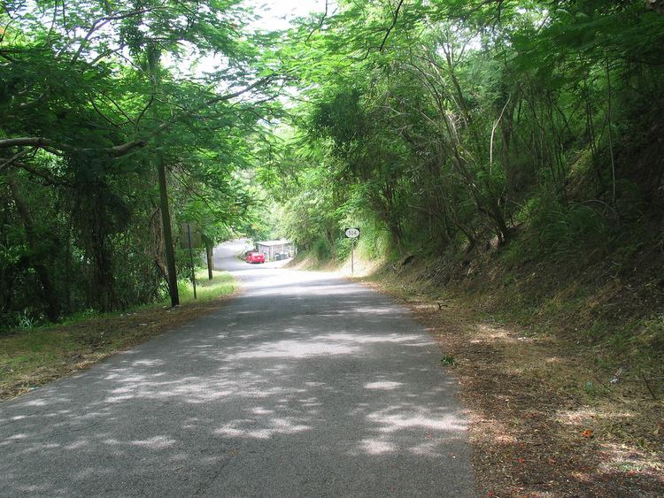
The road is a mountainous two-way one-lane road and thus very difficult to navigate when traffic is coming from the opposite direction. In addition most of the road has numerous steep sharp curves and should be driven only with vehicles in top mechanical condition, preferably all-wheel drive sedans, as drivers of SUVs reportedly feel less in control of their vehicles. The road should not be driven after nightfall.
The road is 6.7 kilometers long. At kilometer mark 3.0, PR-504 connects with PR-588 heading west towards Sector El Hoyo. PR-588's northern terminus is at kilometer 7.2 of PR-505 in Barrio Montes Llanos.