
Elevation 365 m | Local time Wednesday 4:53 PM | |
 | ||
Weather 29°C, Wind E at 13 km/h, 65% Humidity | ||
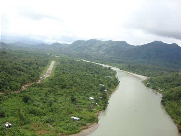
Puerto Alfonso López ([ˈpweɾto ˈlopes]) is a small town and municipality in the Orinoquía Region (Los Llanos region) of Meta Department, Colombia. It is known as Puerto López ,and this is a port on the Meta river. Apart from being a port, this is located approximately 100 kilometers east of the town of Villavicencio. Its main industries are agriculture and cattle.
Contents
Map of Puerto L%C3%B3pez, Meta, Colombia
Puerto Lopez has been said to be the "belly button", or geographical center, of Colombia. Nearby is the Obelisco del Alto de Menegua, a 30 meter tall obelisk that marks the intersection of 4 degrees north latitude and 72 degrees west longitude.
History
The town was established on 1 May 1935. It was centered on the river port and pre-existing village. On 3 May 1937, the Intendencia for Meta Department ordered the creation of the Yacuana District (corregimiento) which capital is Puerto Alfonso Lopez. The municipality was established on 3 July 1955, in accordance with the National Decree No. 2543 of 1945.