
Elevation 1,350 m (4,430 ft) Local time Wednesday 6:04 PM | Founded 1831 Area 6.22 km² Population 1,337 (2008) | |
 | ||
Weather 12°C, Wind SW at 8 km/h, 27% Humidity | ||
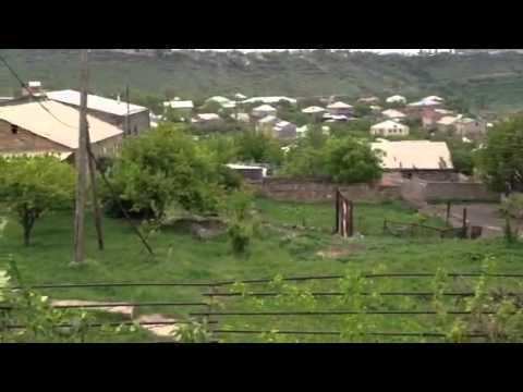
Ptghni (Armenian: Պտղնի), is a village located in the Kotayk Province of Armenia along the left bank of the Hrazdan River. It was founded in 1831 in the vicinity of an abandoned dwelling. The village has a school, kindergarten, house of culture, and a library. The local economy is dependent on agriculture and local inhabitants primarily grow grapes, melons, gourds, and breed cattle. Within the village are the remains of fortress walls and Ptghavank of the 6th to 7th-century.
Map of Ptghni, Armenia
References
Ptghni Wikipedia(Text) CC BY-SA