
Main source Greater Caucasus Length 53 km Source elevation 3,256 m Mouth Black Sea | River mouth Black Sea Basin area 420 km² Source Greater Caucasus Country Russia | |
 | ||
Basin size 421 square kilometres (163 sq mi) | ||
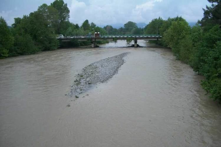
Psou River (Georgian: ფსოუ, Abkhaz: Ҧсоу, Russian: Псоу) is a river in the West Caucasus, bordering the Gagra Range of Abkhazia to the east. It flows along the Southern slopes of the Greater Caucasus Mountain Range and forms a part of the border between Abkhazia and Russia, or Georgia and Russia, as Georgia and United Nations consider. Its source in the Aigra Mountain, and it flows into the Black Sea. The Psou is 53 kilometres (33 mi) long, and the drainage basin is approximately 421 square kilometres (163 sq mi). Between the mouth of the river and the mouth of the Mzymta River is a "sandy depositional foreland", which is approximately 8 kilometres (5.0 mi) in length and 2 kilometres (1.2 mi) wide.
Map of r. Psou, Krasnodarskiy Kray, Russia
The principal tributaries of the Psou are the Besh and the Pkhista. Between 1913 and 1955 there was a hydrological station in operation at Leselidze, roughly 1.5 kilometres (0.93 mi) upstream of the river mouth. The Psou gained notoriety as a smuggling route out of the country, by-passing Russian controls on the border. As of 2008 it was still designated as a transboundary river which lacked an international cooperation agreement as part of the UNECE Water Convention.