
Length 28.7 km | ||
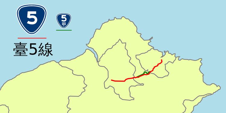 | ||
Provincial Highway 5 (Chinese: 台5線) is a 28.7 km-long provincial Taiwanese highway that connects Taipei and its nearest port Keelung. Before the freeway system was built, this was the primary route for goods transportation. The road is a major avenue (known as Zhongxiao East Road) in Taipei city, and is the north-south divide for the city. It also passes through downtown Xizhi and Keelung.
Contents
Map of Taipei-Keelung Main Rd, Taiwan
Route Description
The route begins at the intersection of Highway 1, 1a, 3, and 9 in front of Executive Yuan in Taipei. The highway continues along Zhongxiao East Road (忠孝東路), passing through downtown Taipei, before turning onto Yanjiuyuan Road (研究院路) and Nangang Road (南港路) in Nangang District. The road then exits Taipei where it enters Xizhi in New Taipei City. In Xizhi the road follows Xin Taiwu Road (新台五路) heading towards Keelung, bypassing downtown Xizhi. In Keelung the highway passes through the communities of Wudu, Qidu and Badu before reaching the downtown. Once in downtown Keelung, the road runs concurrently with PH 2 until it reaches its terminus at Port of Keelung.
The highway runs parallel to the railroad lines connecting Taipei and Keelung for most of its length.