
Country United States Elevation 564 m Local time Tuesday 6:33 AM | GNIS feature ID 0470825 Area 449.5 km² Population 734 (2000) | |
 | ||
Weather 7°C, Wind E at 18 km/h, 97% Humidity | ||
Protection Township is a township in Comanche County, Kansas, USA. As of the 2000 census, its population was 734.
Contents
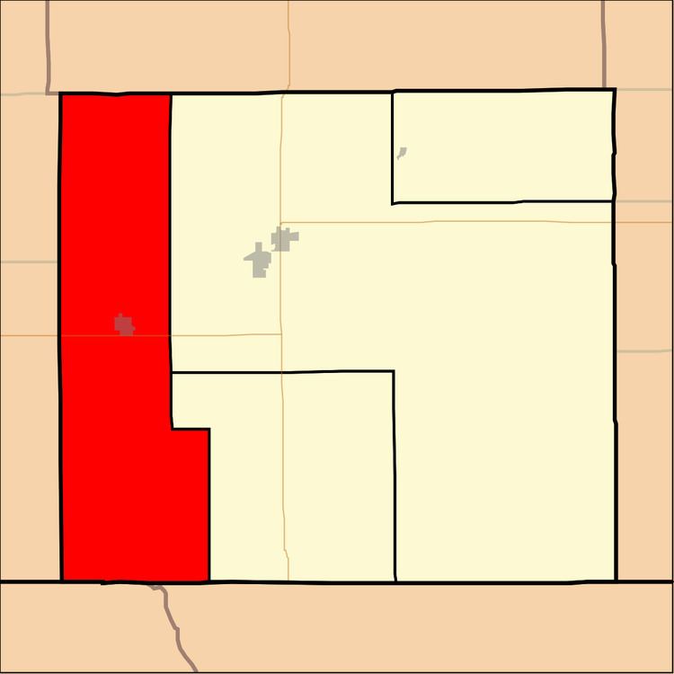
Map of Protection, KS, USA
Geography
Protection Township covers an area of 173.56 square miles (449.5 km2) and contains one incorporated settlement, Protection. According to the USGS, it contains two cemeteries: Mennonite and Protection.
The streams of Bluff Creek, Buzzard Creek, Cavalry Creek, Cavalry Creek, East Kiowa Creek, Kiowa Creek, Middle Kiowa Creek, Nichols Creek, West Kiowa Creek, Wiggins Creek and Willow Creek run through this township.
Transportation
Protection Township contains one airport or landing strip, Protection Municipal Airport.
References
Protection Township, Comanche County, Kansas Wikipedia(Text) CC BY-SA