
 | ||
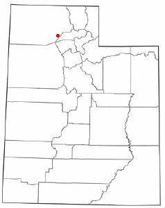
Promontory Point is the cape or southernmost point of the peninsula formed where the Promontory Mountains project into the northern Great Salt Lake at 41°12′18″N 112°25′43″W in Box Elder County, Utah, with an elevation of 4,297 feet (1,310 m) above sea level. It is 4.75 kilometres (2.95 mi) northwest of the west end of Fremont Island in Weber County.
Map of Promontory Point, Utah 84307, USA
Promontory Point also refers to the location 41°13′20″N 112°24′38″W where the Lucin Cutoff intersects the east coast of the peninsula, 1.7 miles (2.7 km) northeast of the cape. The cutoff passes 1,250 feet (380 m) north of the cape and continues west 6.4 miles (10.3 km) to Saline where the cutoff leaves the peninsula.
References
Promontory Point, Utah Wikipedia(Text) CC BY-SA