
Time zone EET (UTC+2) Local time Tuesday 6:38 AM | Elevation 80 m (260 ft) Vehicle registration ΕΡ | |
 | ||
Weather 4°C, Wind E at 6 km/h, 96% Humidity | ||
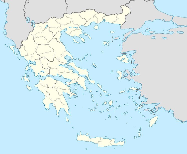
Promachonas (Greek: Προμαχώνας, Bulgarian: Драготин, Dragotin) is a village and a former community in the Serres regional unit, Greece. Since the 2011 local government reform it is part of the municipality Sintiki, of which it is a municipal unit. The municipal unit has an area of 42.212 km2. Population 140 (2011). A major border crossing with Bulgaria is located here. The Bulgarian town opposite Promachonas is Kulata.
Map of Promachonas 623 00, Greece
Promachonas-Topolnica is an important Late Neolithic settlement and cult site which straddles the Greek Bulgarian frontier a few kilometers from the community of Promachonas.
References
Promachonas Wikipedia(Text) CC BY-SA