
Population 6,210 (1999) | Unemployment rate 13.4% (Apr 2015) | |
 | ||
Points of interest Misty Fiords National Monument Rivers Boundary Creek, East Fork Short Creek, Short Creek | ||
Prince of Wales-Hyder Census Area is a census area located in the U.S. state of Alaska. As of the 2010 census, the population was 5,559. It is part of the unorganized borough and therefore has no borough seat. Its largest communities are Craig and Metlakatla. It was formerly part of the Census Bureau's Prince of Wales-Outer Ketchikan Census Area, but the name was changed in 2008 after most of the Outer Ketchikan (except the parts near the community of Hyder, and Annette Island) was lost to annexation by the Ketchikan Gateway Borough.
Contents
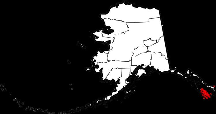
- Map of Prince of Wales Hyder Census Area AK USA
- Geography
- Adjacent boroughs and census areas
- National protected areas
- Demographics
- Cities
- Census designated places
- Other
- References
Map of Prince of Wales-Hyder Census Area, AK, USA
Geography
According to the U.S. Census Bureau, the census area has a total area of 7,683 square miles (19,900 km2), of which 3,923 square miles (10,160 km2) is land and 3,760 square miles (9,700 km2) (48.9%) is water. The present-day Prince of Wales-Hyder Census Area includes the Hyder area as an exclave, and Annette Island, which is mostly surrounded by territory of Ketchikan Gateway Borough. Before the transfer of territory, Ketchikan Gateway Borough was enclaved within (surrounded by) the census area.
Adjacent boroughs and census areas
National protected areas
Demographics
As of the census of 2000, there were 6,146 people, 2,262 households, and 1,535 families residing in the then-census area. The population density was 1 people per square mile (0/km²). There were 3,055 housing units at an average density of 0 persons/km² (0 persons/sq mi). The racial makeup of the census area was 53.12% White, 0.15% African American, 38.68% Native American, 0.36% Asian, 0.05% Pacific Islander, 0.50% from other races, and 7.14% from two or more races. Hispanic or Latino of any race were 1.74% of any race.
There were 2,262 households out of which 37.60% had children under the age of 18 living with them, 50.80% were married couples living together, 10.00% have a woman whose husband does not live with her, and 32.10% were non-families. 26.00% of all households were made up of individuals and 5.00% had someone living alone who was 65 years of age or older. The average household size was 2.68 and the average family size was 3.25.
In the census area the population was spread out with 31.00% under the age of 18, 7.50% from 18 to 24, 30.10% from 25 to 44, 25.80% from 45 to 64, and 5.70% who were 65 years of age or older. The median age was 35 years. For every 100 females there were 119.80 males. For every 100 females age 18 and over, there were 125.60 males.