
Length 4 km River system Bucaná River | ||
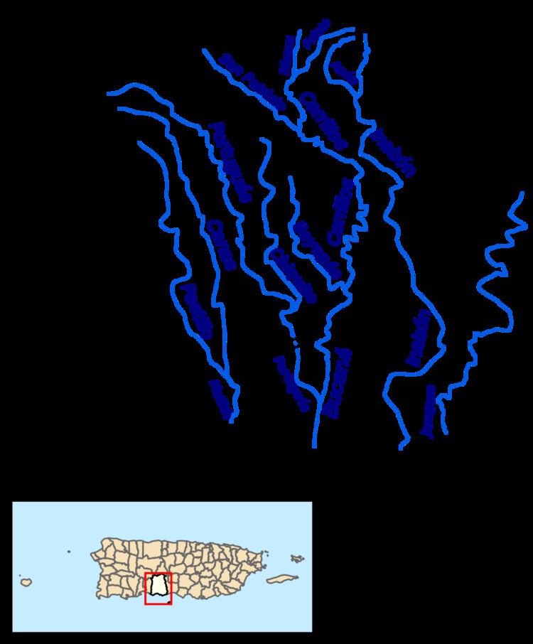 | ||
Main source Barrio Anón3,920 feet (1,190 m) River mouth Rio Cerrillos1,381 feet (421 m) Tributaries Left:Quebrada RosalesRío Blanco | ||
Prieto River is a river in the municipality of Ponce, Puerto Rico. It is located in the northeastern area of the municipality. Forming at an altitude of 3,920 feet (1,190 m), Río Prieto originates at the second highest point of any river in the municipality after Río Inabon. It empties into Río Cerrillos. Together with Río Blanco, Río Prieto is one of the two rivers in Ponce with mouths at the highest elevation (both at 1,381 feet (421 m)). This river is one of the 14 rivers in the municipality.
Contents
Map of R%C3%ADo Prieto, Ponce, Puerto Rico
Origin
Río Prieto has its origin in barrio Anón in Ponce, in the area of Toro Negro State Forest, half a kilometer southwest of Cerro Jayuya and about 0.75 kilometer southeast of Cerro de Punta. It is a tributary of Río Cerrillos and part of the Río Bucana watershed.
Course
Running south from its origin, Río Prieto runs for about 3 kilometers before it is fed by Rio Blanco. Río Prieto winds its way through the mountains paralleling PR-139 for about 1 kilometer before it feeds into Río Cerrillos approximately 800 feet west of the intersection of PR-139 and Camino Cerrillo in Barrio Anón.